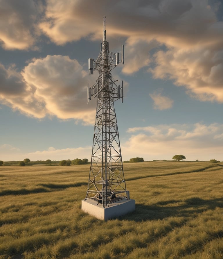
See Beyond the Visable with Advanced Drone Imaging
High Plains Drone Imaging delivers precision aerial data and stunning visuals with cutting‑edge multi‑spectral technology for agriculture, roofing, real estate, and more.
About HPDI
Advanced drone imaging solutions for agriculture, construction, real estate, and environmental monitoring.


Our Services
Advanced drone imaging and data analysis to optimize agriculture, construction, real estate, and more.
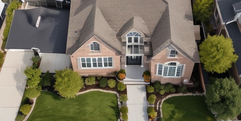
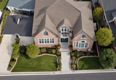
Real Estate Photography & Video
Stunning aerial videos and photos to showcase properties
Smooth cinematic footage for listings and marketing
Quick turnaround to meet listing deadlines
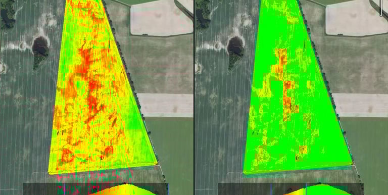
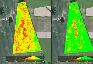
Multi-Spectral Agricultural Imaging
Crop health assessment using visible, infrared, and other spectral bands
Early detection of irrigation issues, disease, and nutrient deficiencies
Accurate mapping for yield optimization


Roofing Inspections
High-resolution aerial roof scans for contractors and insurance claims
Safe, fast, and cost-effective alternative to traditional roof check
Detailed imagery for estimates and documentation
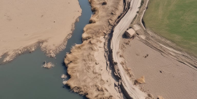
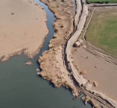
Land & Environmental Surveys
Monitor land changes, erosion, and environmental impact
Generate geo-referenced maps and 3D models


Custom Projects
Need something unique? We offer tailored aerial imaging solutions for construction, industrial inspections, and more.
Gallery
Explore aerial insights across agriculture and business sectors.


